Software Products

Buoys

2D Animations

Content
Buoys

3D Animations

Content

Buoys

VR Animations

Content

Buoys

Acoustic Technologies

Content
Remote environmental monitoring sensor system used for tracking ocean and ecosystem data

TwoBlue Artificial Intelligence Engine

TwoBlue is the AI-powered intelligence engine of the X-MAS architecture, serving as a unified digital twin of the underwater environment. By integrating real-time environmental data, ocean acoustics, AI/ML, and advanced mathematical models such as Monte Carlo simulations, Markov Chains, and Bellman optimization, it delivers predictive insights, operational planning, tactical decision support, and risk-free mission simulation. The platform continuously models and optimizes underwater conditions, enabling faster, smarter, and more reliable maritime operations.

Strategic Role

At its core, TwoBlue formulates maritime sensing and deployment as a coupled optimisation problem over stochastic ocean state spaces. It integrates Bayesian inference, Markov Decision Processes (MDPs), and spatial optimisation methods to support long-horizon planning, adaptive redeployment, and resource allocation under uncertainty. The system is designed to operate efficiently at small-scale inference nodes while scaling to highdimensional optimisation workloads using parallelised compute architectures. This enables rapid convergence over large spatial planning domains while maintaining probabilistic consistency across environmental models.

Pre-Deployment Environmental Assessment

During pre-deployment planning, TwoBlue constructs a probabilistic environmental model of the operational theatre. This includes bathymetry, sound velocity profiles, ocean dynamics, historical detection performance, and operator-defined constraints. Subject Matter Expert (SME) inputs are incorporated as priors or constraints within the Bayesian framework, allowing human expertise to shape posterior solutions. The operator retains Override Rights at all stages of system operation.

Post-Deployment Adaptive Learning

Following deployment, TwoBlue transitions into a continuous learning mode, assimilating validated operational data into its probabilistic models. Observed sensor outputs are used to update belief distributions over environmental states and target behaviour. These updates enable adaptive redeployment, improved sensor geometry selection, and progressively more accurate long-horizon planning under uncertainty.

Operational Role

Operational mode operates on aggregated multi-sensor feature streams to construct a real-time, structured representation of the maritime environment. Core functions include:

This mode transforms distributed observations into coherent operational entities, enabling continuous situational awareness and tactical-level inference.

Digital Ocean Model (DOM)

The Digital Ocean Model (DOM) is a unified probabilistic spatiotemporal belief state over the maritime domain, maintained by TwoBlue and updated continuously from X-MAS sensor and edge-layer outputs via Bayesian filtering and multi-sensor data fusion.

Integration with X-MAS

TwoBlue operates above the X-MAS execution system, which handles sensing, edge processing, and real-time control. This separation maintains a strict division between physical execution (X-MAS) and probabilistic intelligence (TwoBlue), while preserving a continuous closed-loop feedback system through the DOM.

TwoBlue provides

Acoustic Range Prediction Software – Wader

A real time sonar propagation and detection probability modeling system combining environmental inputs with user parameters to support tactical planning, evasion analysis, sensor placement, and mission optimization.

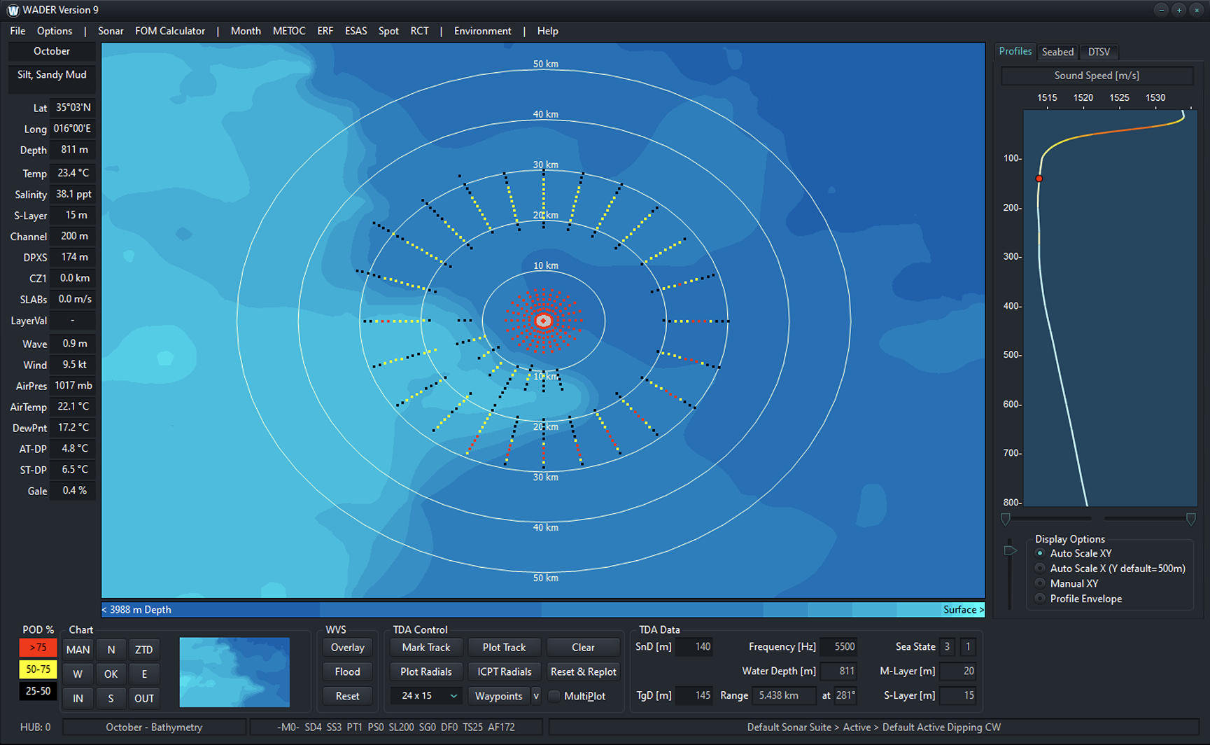
WADER is a comprehensive sonar range prediction and Global Ocean Information System which combines environmental data together with user supplied parameters to generate propagation loss data (PL) and calculate sonar probability of detection.

Designed for users of all abilities, data is generated in real time. Analysis of the data can provide information such as best evasion depth, likely target depths, and optimum sonar position.

Wader Sonar Range
image

Analytical Tool - ATtide

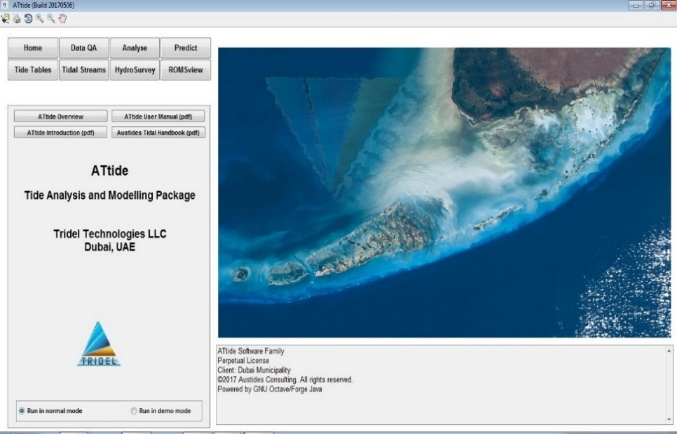
A high precision tidal analysis, prediction, and QA/QC platform with harmonic analysis, anomaly detection, extreme value filtering, and comprehensive tidal parameter computation. A powerful analytical tool that allows analysis of tidal measurements, calculation of harmonic contents, incorporation of wind speed, wind direction and barometric pressure data and produces tide prediction based on harmonic analysis with advanced surge suppression and extreme measurement values.The software features full data QA/ QC intelligent design, spike removal, interpolation over allowable gaps, ‘flat lines’ removal, datum and time (clock) shifts along with full record of changes. It can choose harmonics automatically or user can input pre chosen list that has 112 built in harmonics based on the UKHO/ IHO set; there is no limit to number that can be added to meet local requirements. It can analyze any number of points over any length time period (not limited to 18.6 years) in a few seconds. This software automatically chooses most appropriate scheme that can be overridden by user after inspection of spectrum and residuals. It automatically computes MHHW, MHW, MLLW, MLW, MSL, HAT, LAT, MHWS, MHWN, MLWS, MLWN, ISHW, ISLW, and trend during analysis.

Marine Database Management System

A robust spatial geometric data platform for hydrographic, oceanographic, and environmental datasets. Designed for long term archiving, GIS integration, real time updates, and secure multi survey data management.

Database application optimized for storing and querying data that represents objects within a geometric space. This centralized database offers long term archiving, reporting and its data serve as input parameters for modelling system and GIS applications. Real time data, data history, and early warnings can therefore be presented on demand to help decision makers to plan marine transport, industrial operations, or environmental protection activities. Advanced architectural design and algorithms assure data security and conform to OpenGIS Consortium (OGC) mapping standards.

This software is being used for data management of hydrographic data comprising multibeam, single beam, side scan, magnetometer, grab sampling inputs. This customized system handles multiple survey data simultaneously.

Marine data
image

Marine Surveys and Management Suite

A comprehensive application for end to end hydrographic survey operations—featuring vessel management, survey planning, authentication, reporting, document workflows, remote access, and multi tiered approval management.

Intended primarily for marine hydrographic survey purpose, this manages entire activities in survey operations and survey data collection. The application is feature with Multiuser roles, User Management, Vessel Management, Live Survey planning, User Authentication, Remote access, Report Management, Project Planning, Project Status, Document management, multi tier submission approval system, etc.

Augmented Reality Training & Interactive Documentation

Augmented Reality training modules and Interactive Electronic Technical Manuals (IETM) that modernize training, simplify maintenance, and enable remote, immersive learning environments.

These technologies not only make training realistic but also reduce maintenance costs due to ease of simulation and possible remote access.

image
image

Environmental Monitoring System

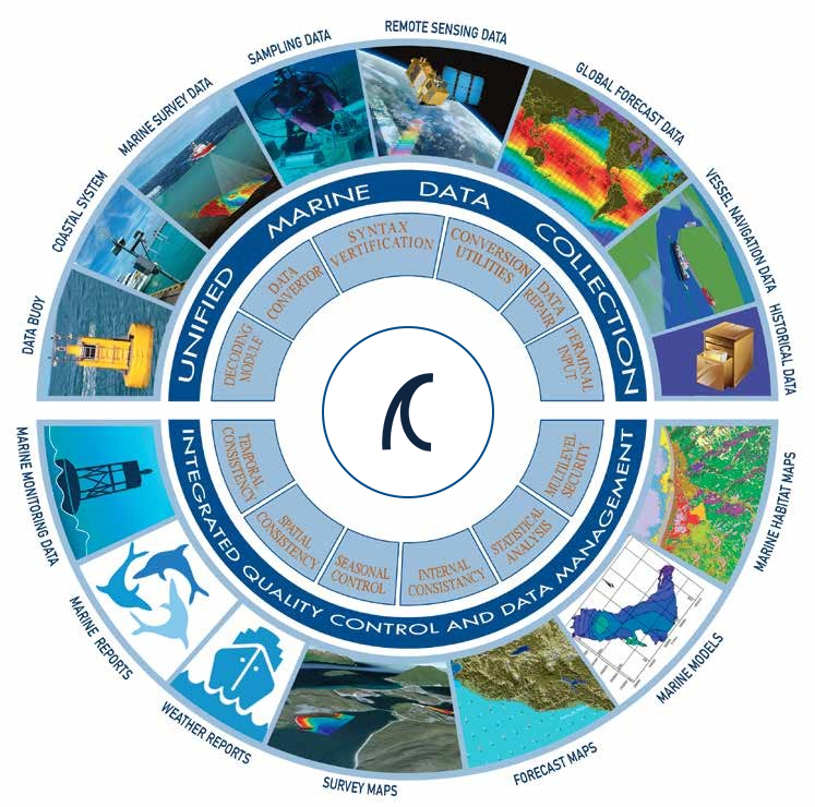
Our software provides a customized solution for collection, integration, and processing of marine meteorological, air quality, and water quality data. The system delivers accurate data for display in real time. This software is instrument and transmission independent and hence can be used flexibly and comprehensively within most applicable environments.
– Secure database system.
– Various dashboards for data visualization and analysis.
– Time series plots.
– Data export in MS Word, Excel, PDF or customer defined format.

Web & Mobile Applications

We offer fully customisable web & mobile applications that can be interfaced with customer provided external interfaces.

image
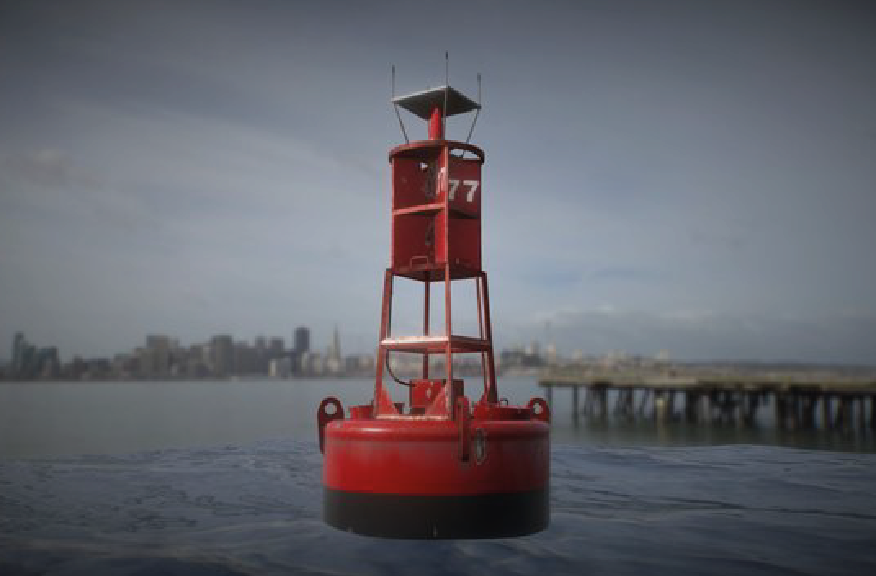
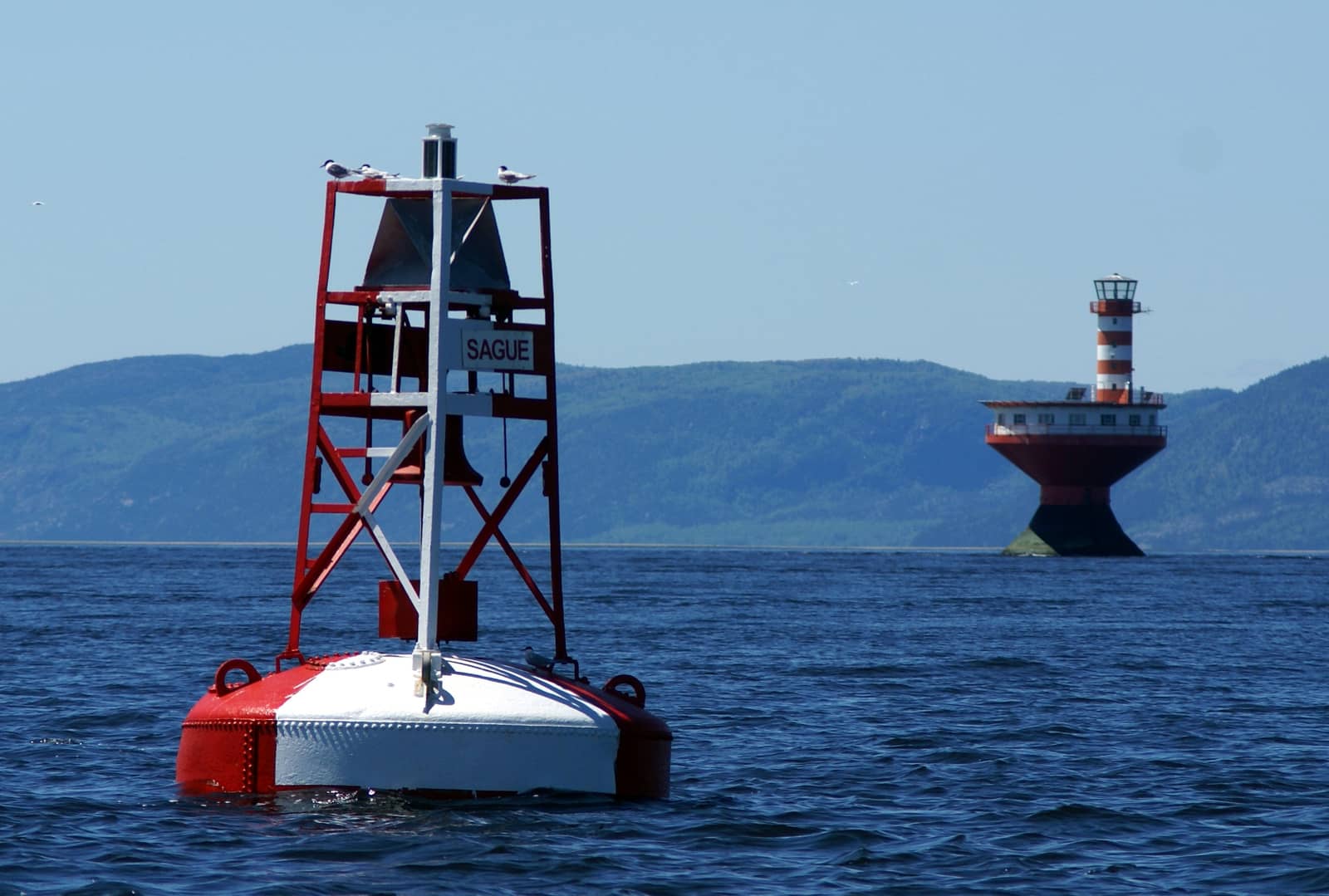
IALA compliant navigational buoy used as a maritime safety marker for guiding ships and vessels

Navigational Buoys & Data Buoys

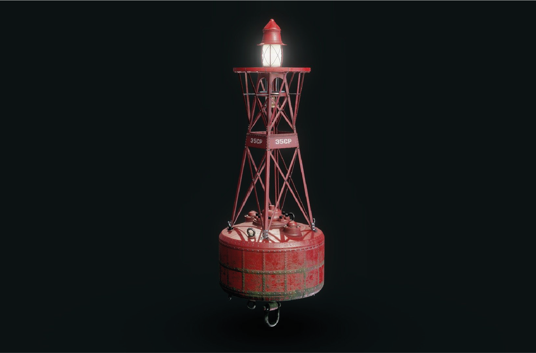
We manufacture all kinds of IALA ‘A’ and ‘B’ compliant navigational buoys with diameters between 100 – 4800mm that can be moored in waters up to 3000m.

Data buoys platforms for measurement of meteorological, oceanographic and water quality parameters.
Wader Sonar Range

Wader System

WADER is a comprehensive sonar range prediction and Global Ocean Information System which combines environmental data together with user-supplied parameters to generate propagation loss data (PL) and calculate sonar probability of detection.

Designed for users of all abilities, data is generated in real time. Analysis of the data can provide information such as best evasion depth, likely target depths and optimum sonar position.
Marine

Automatic Weather Stations

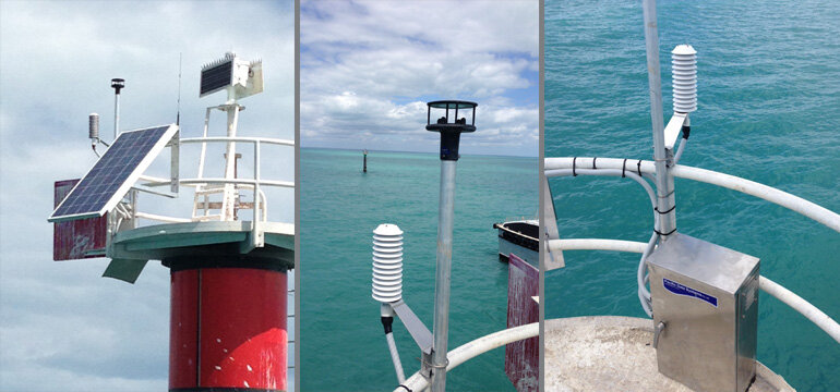
Automatic Weather Stations for monitoring of parameters such as wind speed/ direction, sea surface/ air temperature, relative humidity, pressure, precipitation, visibility, and other required oceanographic/ meteorological parameters.
image

Groundwater & Inland Water Stations

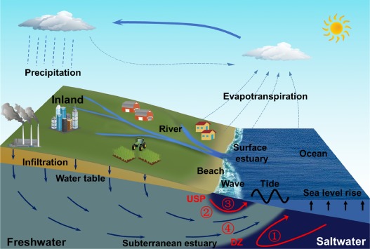
Monitoring stations for automated measurement of boreholes, open wells, water levels of rivers, inland water bodies and groundwater.
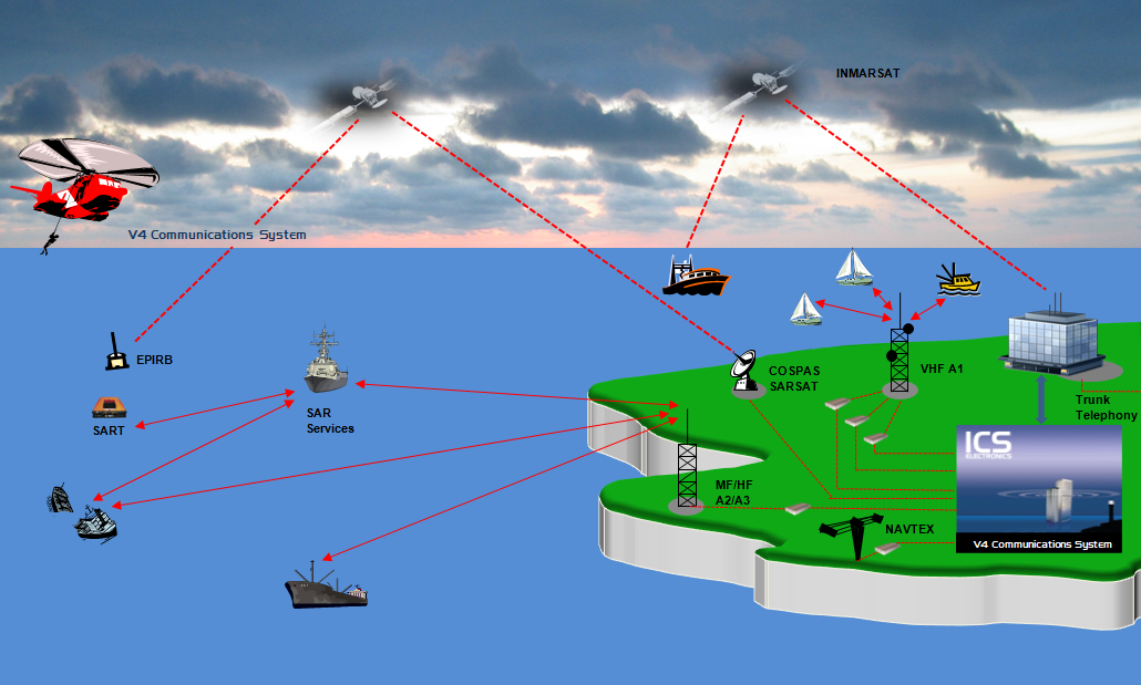
products

Monitoring Stations for Coastal/ Offshore Platforms & Vessels

Monitoring stations for water quality parameters, oceanographic parameters like tides, waves, water current profiling and general weather parameters.

Ocean monitoring systems for offshore platforms, oil terminals or SPM buoys.

Air quality analysers

Air Quality & Emission Monitoring

Air Quality Analysers, emission monitoring devices, quality control and data storage, statistical analysis and comparison, GIS system interface based on our extensive experience in geodetic and field survey.

Marine data

Database Management System

We have a database application optimized for storing and querying data that represents objects within a geometric space. This centralized database offers long-term archiving, reporting and its data serve as input parameters for modelling system and GIS applications. Real-time data, data history and early warnings can therefore be presented on demand to help decision makers to plan marine transport, industrial operations, or environmental protection activities. Advanced architectural design and algorithms assures data security and conform to OpenGIS Consortium (OGC) mapping standards.

This software is being used for data management of hydrographic data comprising multibeam, single beam, side scan, magnetometer, grab sampling inputs. This customized system handles multiple survey data simultaneously
image

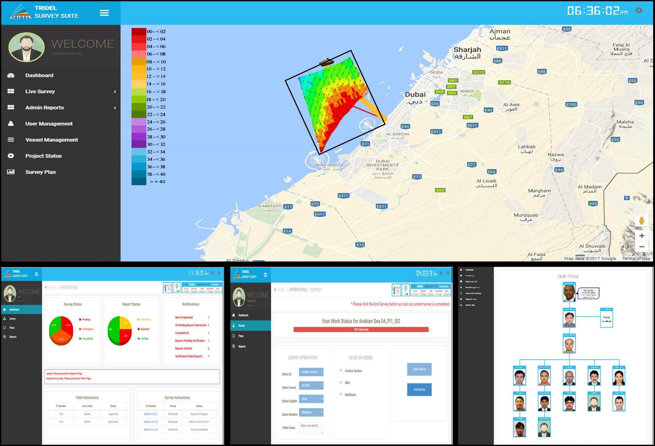
Survey and Management Suite

Intended primarily for marine hydrographic survey purpose, This manages entire activities in survey operations and survey data collection. The application is featured with Multiuser roles, User Management, Vessel Management, Live Survey planning, User Authentication, Remote access, Report Management, Project Planning, Project Status, Document management, multi-tier submission approval system, etc.
image

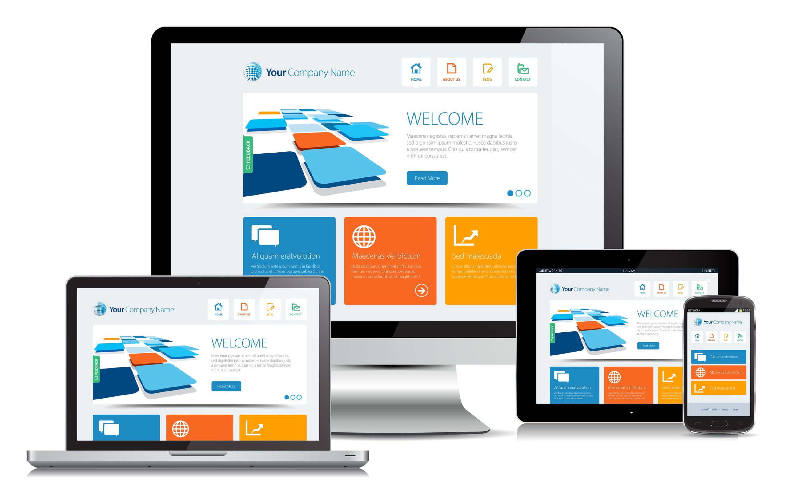
Web & Mobile Applications

We offer fully customisable web & mobile applications that can be interfaced with customer provided external interfaces.
image

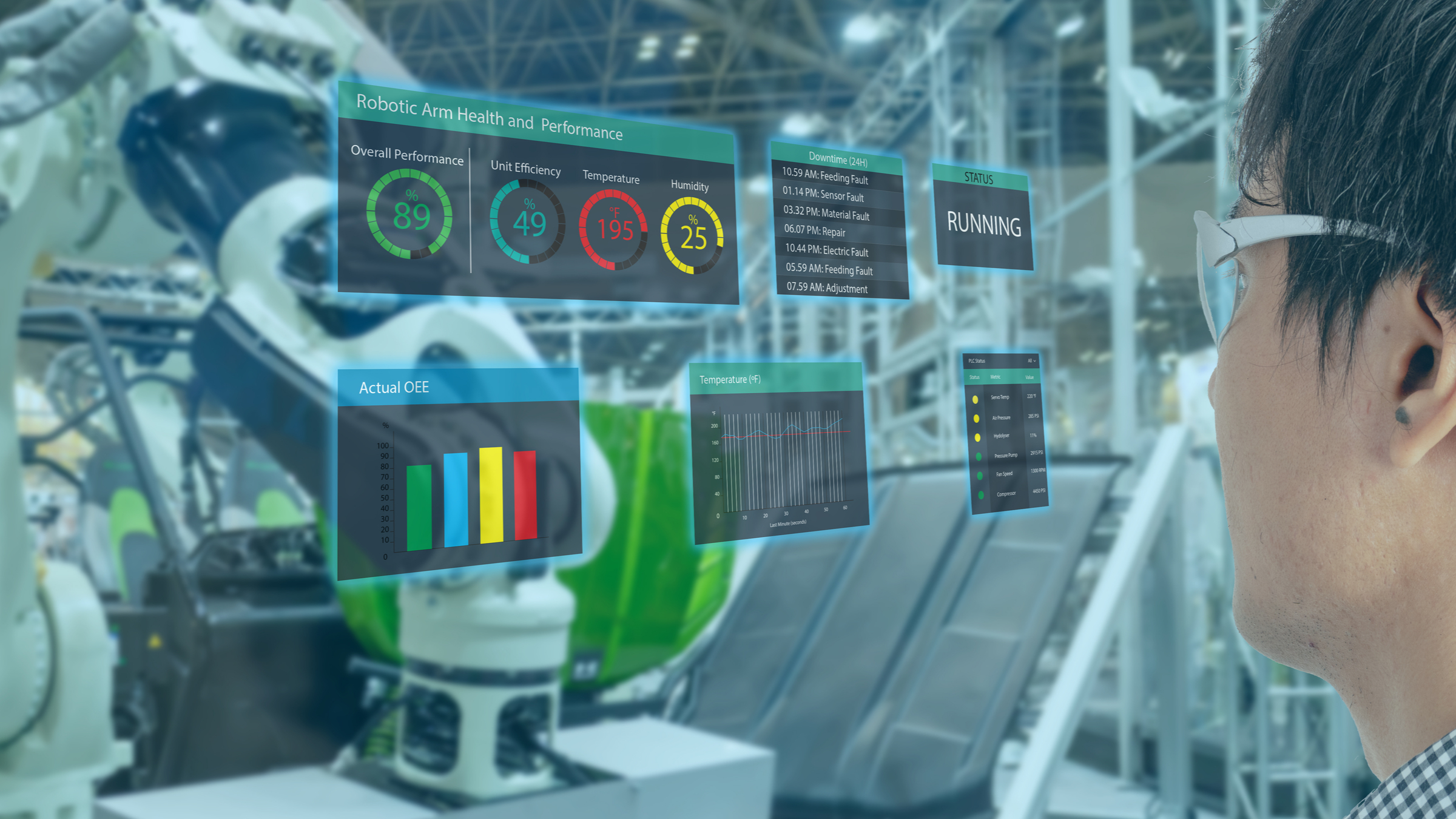
Augmented Reality Training & Interactive Documentation

Our products are designed ground up to use advanced technology Augmented Reality (AR) training packages and Interactive Electronic Technical Manuals (IETM). These technologies not only make training realistic, but also reduce maintenance costs due to ease of simulation and possible remote access.
image

Environmental Monitoring System

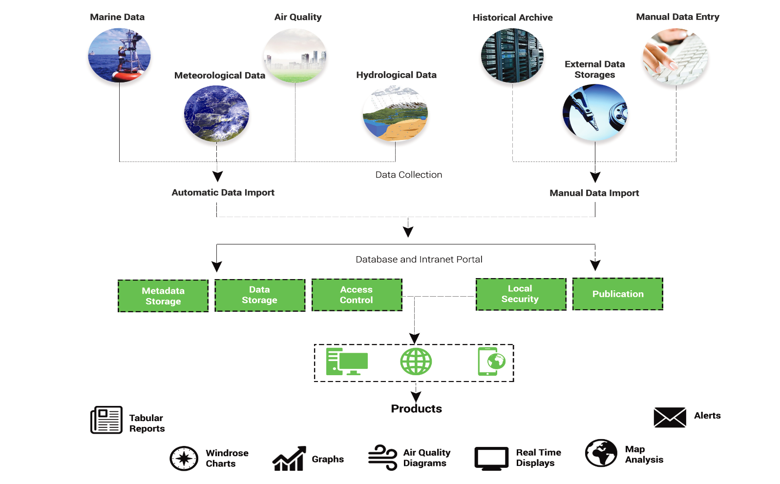
Our software provides a customized solution for collection, integration, and processing of marine meteorological, air quality, and water quality data. The system delivers accurate data for display in real-time. This software is instrument and transmission independent and hence can be used flexibly and comprehensively within most applicable environments.
- Secure database system.
- Various dashboards for data visualization and analysis.
- Time series plots.
- Data export in MS Word, Excel, PDF or customer defined format.

image

Analytical Tool

A powerful analytical tool that allows analysis of tidal measurements, calculation of harmonic contents, incorporation of wind speed, wind direction and barometric pressure data and produces tide prediction based on harmonic analysis with advanced surge suppression and extreme measurement values. The software features full data QA/ QC intelligent design, spike removal, interpolation over allowable gaps, ‘flat lines’ removal, datum and time (clock) shifts along with full record of changes. It can choose harmonics automatically or user can input pre-chosen list that has 112 built-in harmonics based on the UKHO/ IHO set; there is no limit to number that can be added to meet local requirements. It can analyze any number of points over any length time period (not limited to 18.6 years) in a few seconds. This software automatically chooses most appropriate scheme that can be overridden by user after inspection of spectrum and residuals. It automatically computes MHHW, MHW, MLLW, MLW, MSL, HAT, LAT, MHWS, MHWN, MLWS, MLWN, ISHW, ISLW, and trend during analysis.

Scroll to Top